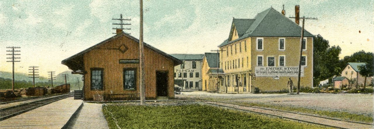
Improving Transportation
This rapid influx of population through the back door of the county, soon commanded the attention of county officials. When in 1745 the first official highways were laid out in the eastern part of the county, they found that individual initiative had already preceded them. Three highways (two were described above) and at least two bridges (one at Sodom) across the East Croton were already in use. Also a highway from Danbury to the mines in northwest Connecticut passed through New Fairfield, followed the Ten Mile River into New York colony at Dover and then ran back into Connecticut. The third highway in Patterson, probably leading south from Dover on the Ten Mile River-Danbury road, passed along the east side of the Great Swamp and followed the East Croton into the Oblong. North of Haviland Hollow this roughly follows our present State Highway number twenty-two.
If we note the language of the Dutchess road commissioners, some of the established roads were “paths” whereas others were “highways.” The pattern of development may have been that paths connected favorable farmsteads with millsites and more developed highways, these ways in turn influenced patterns of settlement as families and businesses clustered at important intersections; and then as settlement increased further, local roads were built to interconnect them, sometimes still going by the best navigable route from place to place but also often following new property lines, as much as topography permitted. An example of the latter is the road laid out up the middle of the Oblong; in Haviland Hollow there is an old section of that roadway up Cranberry Mountain that was too steep and little used to justify the expense of modern maintenance and so has been abandoned.
The large landlords began taking a more active interest in the eastern lands in the mid 1740’s. The Dutchess County road commissioners (one of whom was Philip Philipse) imposed a new pattern, and thereafter the dominant one, for transportation, over the one that had been oriented to Danbury. The Patent Road (now approximately Route 22) connecting Beekman’s Patent (now southeastern Dutchess) through the Philipse Upper Patent (now Putnam) to Cortlandt’s Patent (now northern Westchester), began the reorienting of traffic towards New York City. Between 1745-52 two other important north and south highways were laid out. One ran the entire length of the high ridge that marks the center of the Oblong. The other (now Route 52) ran through Carmel and Ludingtonville. These two highways were to become two of the most important north and south highways in the state during the following century. Two east highways were laid out: one from De Forest Corners to Carmel, the other from the Oblong road on Quaker Hill west through Patterson to Ludingtonville and then north to join the main highway. From two centers, one at Sodom and one at the meeting house (one mile East of Dykeman’s) radiated a number of short roads. Other roads connected the main highways. These roads interconnected (or improved the connections between) existing mill sites and settlements: Milltown and Southeast Center (Sodom, in Brewster), Red Mills (in Mahopac), ‘Morrison’s’ Mills (at Routes 311 and 292 in Patterson), Bircham’s Mills (along Simpson Rd in Carmel).
