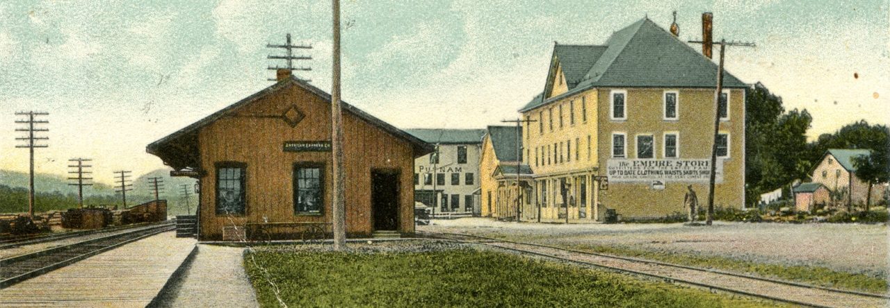
What is now Putnam County, plus a small but undefined portion of land, probably bounded on the north by the Fishkill was included in the South Ward (1719) or Precinct (1737) of Dutchess County. It was not until 1743 that the Oblong was included in the county. Even then officials seemed in a quandary how to deal with it. Nearly thirty years later the Oblong strip, in what is now Putnam County, was made into the awkward Southeast Precinct, which twenty-three years later was broken up and incorporated into the present townships of Patterson and South East. During our history the center of trade at the Mill Site (Routes 292 and 311) bore the names–Woostershire, North Phillipi, Fredericksburg, Franklin, “the City”, and Patterson.
The eastern portion of the Philipse lands, including most of the annexed ones, became known as Fredericksburg, and were officially designated as such in 1772 when Dutchess County administratively divided its southern portion into three precincts, for the Highland Patent, a western half, Philipsburg, and an eastern half, Fredericksburg (which included only about the southern half of The Undivided), and Southeast.
(One result of all these boundary changes is a difficulty and confusion in trying to interpret records. Did a family move within the area or did they remain on the same farm the jurisdiction over, or name of, which shifted several times? Until the particular land on which a family resided is located this confusion will continue.)
The village which was clustered around the intersection of Routes 311 and 292 and the mills at that site was already an important center of the area, and after it took on the name of the larger area, Fredericksburg, it would obtain national notoriety, first in the land revolts of 1766, and later when the Continental Army encamped in the area during the summer and fall of 1778.
