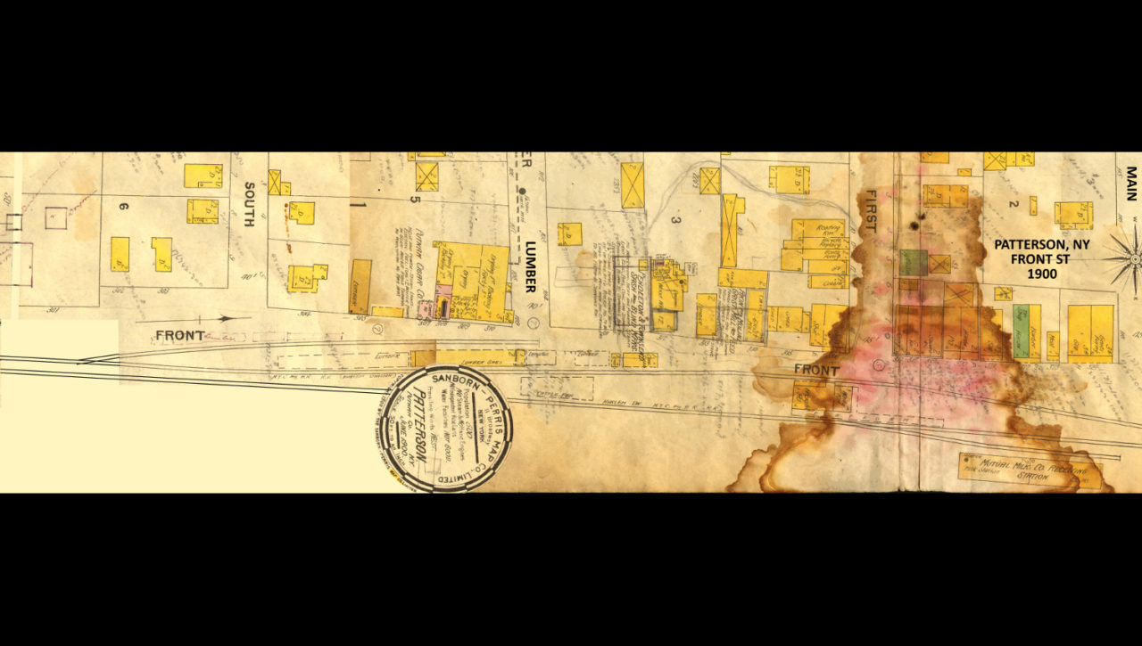
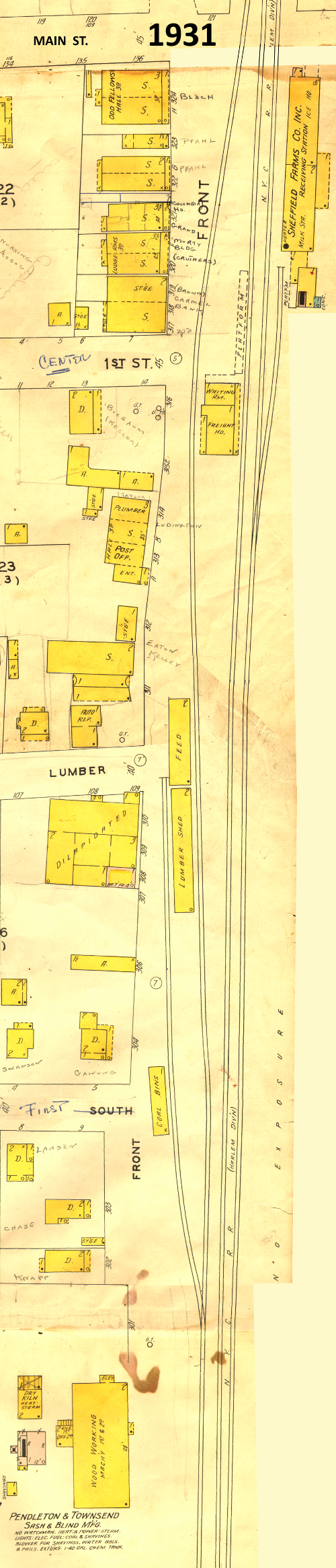
Sanborn map detail, Patterson, NY Front St
![Sanborn_1931_FrontStonly_72dpi](https://pattersonhistoricalsociety.org/wp-content/gallery/front-st/Sanborn_1931_FrontStonly_72dpi.jpg)
![aa_001292_FrontSt#1Sloat](https://pattersonhistoricalsociety.org/wp-content/gallery/front-st/thumbs/thumbs_aa_001292_FrontSt1Sloat.jpg)
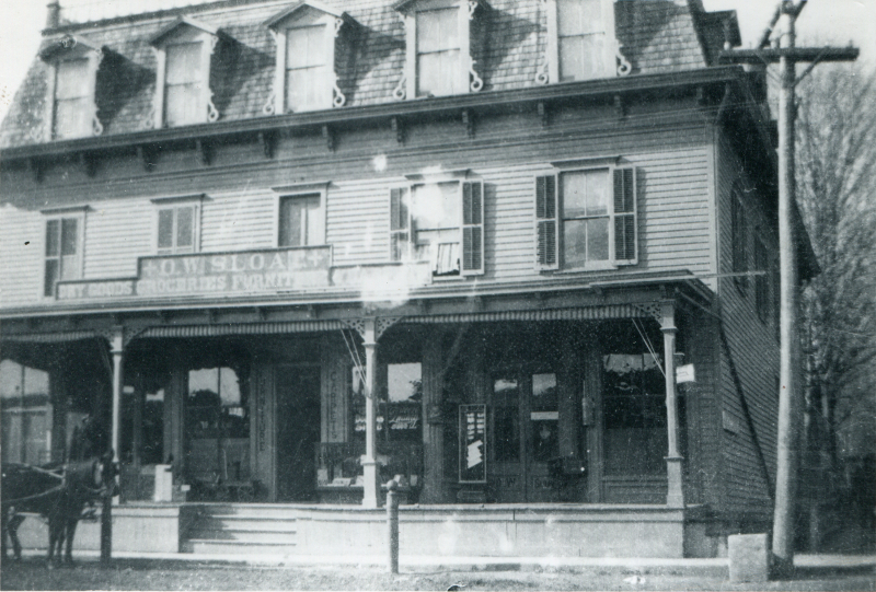
Front St #1 c 1905 O W Sloat store
![ac_020621_RailroadStreet](https://pattersonhistoricalsociety.org/wp-content/gallery/front-st/thumbs/thumbs_ac_020621_RailroadStreet.jpg)
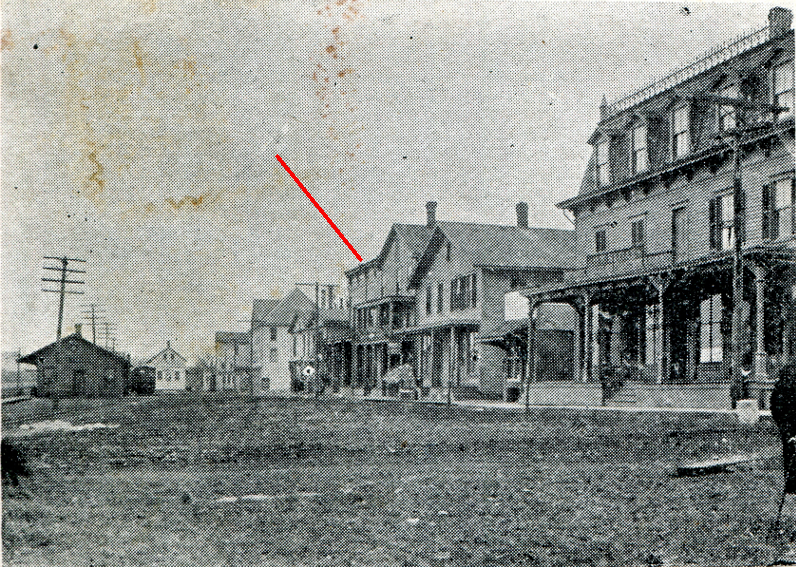
“Railroad St” c 1903 looking south from Main St
![ad_020660_RRAvenue](https://pattersonhistoricalsociety.org/wp-content/gallery/front-st/thumbs/thumbs_ad_020660_RRAvenue.jpg)
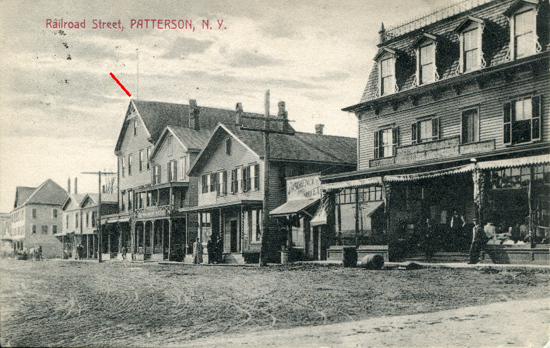
“Railroad St” c 1910–O W Sloat store on corner
![ae_001041](https://pattersonhistoricalsociety.org/wp-content/gallery/front-st/thumbs/thumbs_ae_001041.jpg)
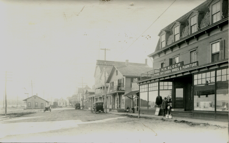
Front St c 1920–H H Bloch store on corner
![af_000328 Front St 70s](https://pattersonhistoricalsociety.org/wp-content/gallery/front-st/thumbs/thumbs_af_000328-Front-St-70s.jpg)
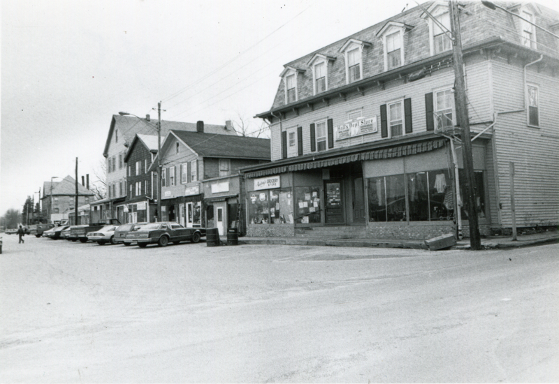
Front St c 1979–Hall’s Department Store on corner
![ag_020631_72dpi](https://pattersonhistoricalsociety.org/wp-content/gallery/front-st/thumbs/thumbs_ag_020631_72dpi.jpg)
Front St c 1920 looking north from Center St